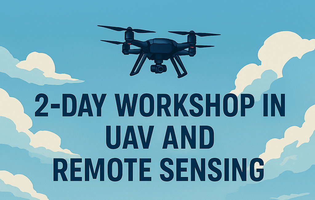
A hands-on, immersive experience combining UAV fieldwork and geospatial analysis.
The 2-Day UAV and Remote Sensing Workshop offers an engaging mix of field missions, data processing, and applied GIS/RS learning. Join researchers, students, and professors for a practical and theoretical deep dive into modern UAV-based landscape analysis.
- 🚁 On-site UAV Flights & Data Collection: Learn mission planning, data capture, and safety.
- 🖥️ Evening Lab Sessions: Turn raw drone imagery into real geospatial products.
- 🗺️ Integrated Theory & Application: Taught by specialists in UAVs and environmental RS.
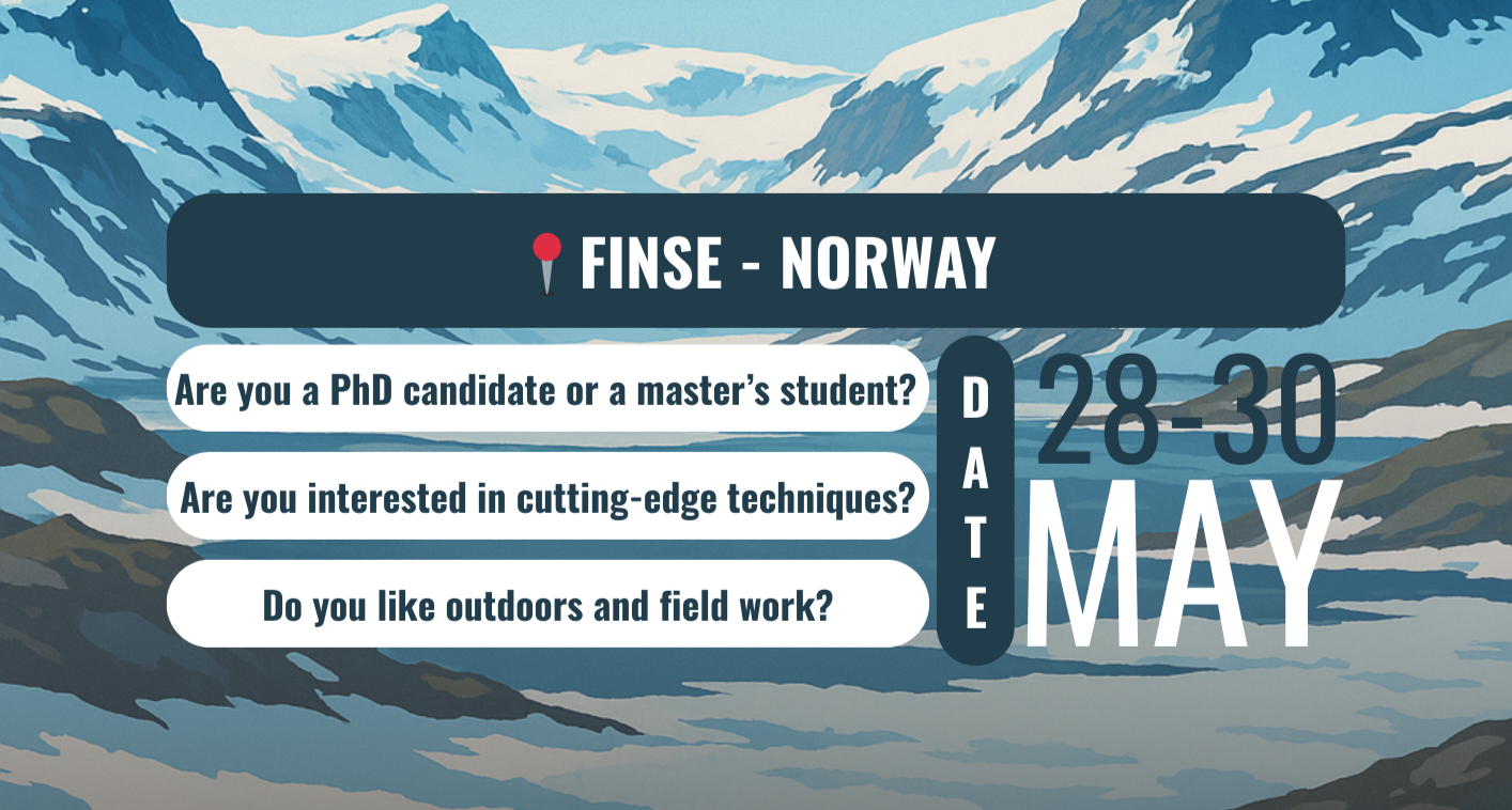
Set in a stunning mountain landscape ideal for UAV-based environmental monitoring — only 8 spots available!
- 💰 All costs covered: Transportation, accommodation, and meals are fully funded for selected participants.
- 🎒What to bring: A personal laptop is required. Also bring appropriate field gear (e.g. hiking boots, waterproof layers) and your favourite snack!
- 🕐 Application Deadline: 9 May 2025 at 12.00 pm