GeoBridge connects researchers and students from diverse academic backgrounds through a shared interest in geographical information systems (GIS) and remote sensing (RS). The platform supports knowledge exchange, interdisciplinary collaboration, research visibility, and skill development in methods used to investigate landscape dynamics across the biosphere, geosphere, and cryosphere.
Activities through 2025 and 2026
GeoBridge combines seminars, practical training, and collaborative research activities designed to strengthen the GIS/RS community across the University of Bergen, the University of Amsterdam, and partner institutions.
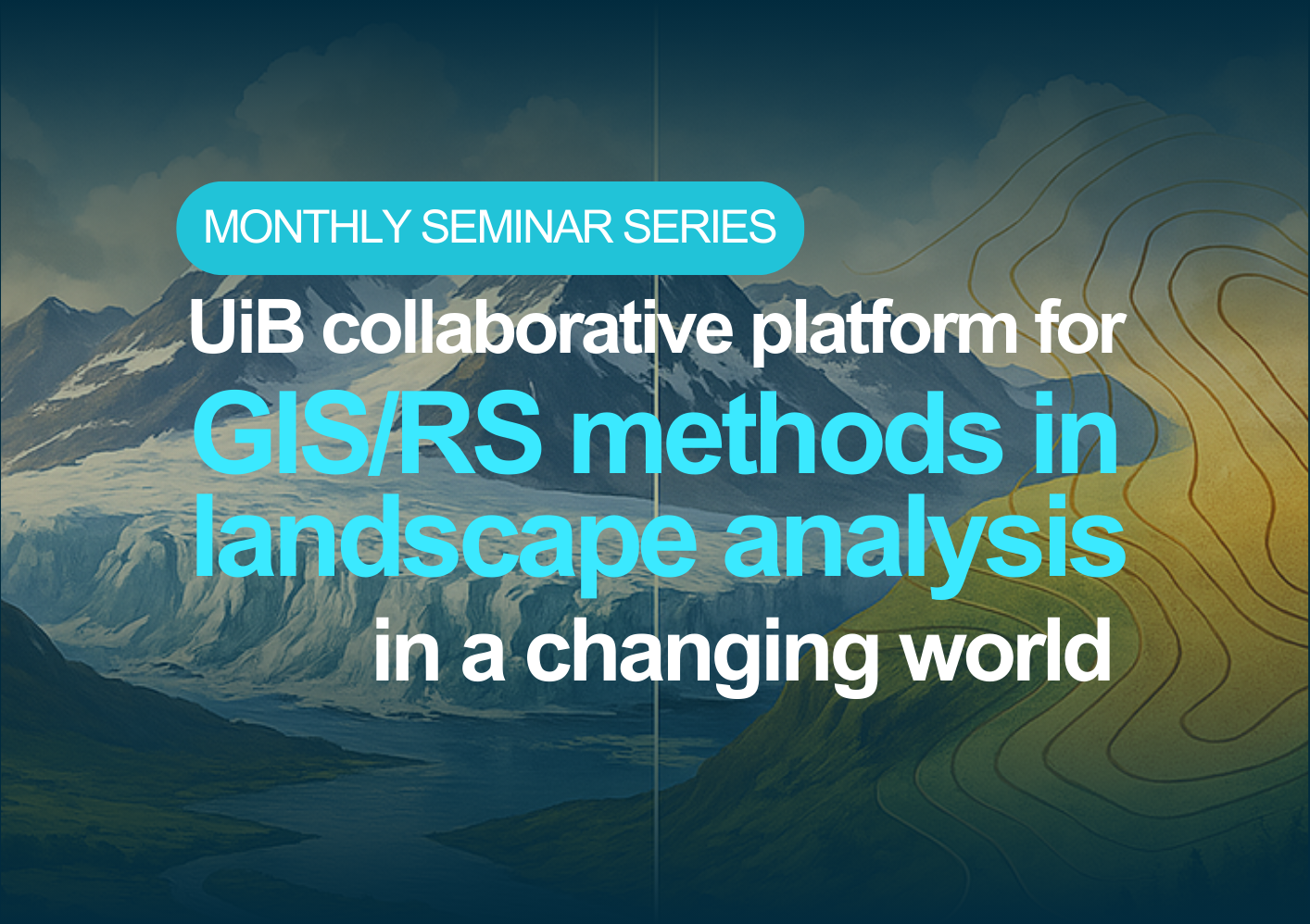
GeoBridge Seminar Series
The GeoBridge Seminar Series connects researchers and students from UiB, UvA, and invited institutions through monthly seminars on spatial and temporal analyses of landscape change. The series presents methods, applications, and practical tools spanning research across the biosphere, geosphere, and cryosphere.

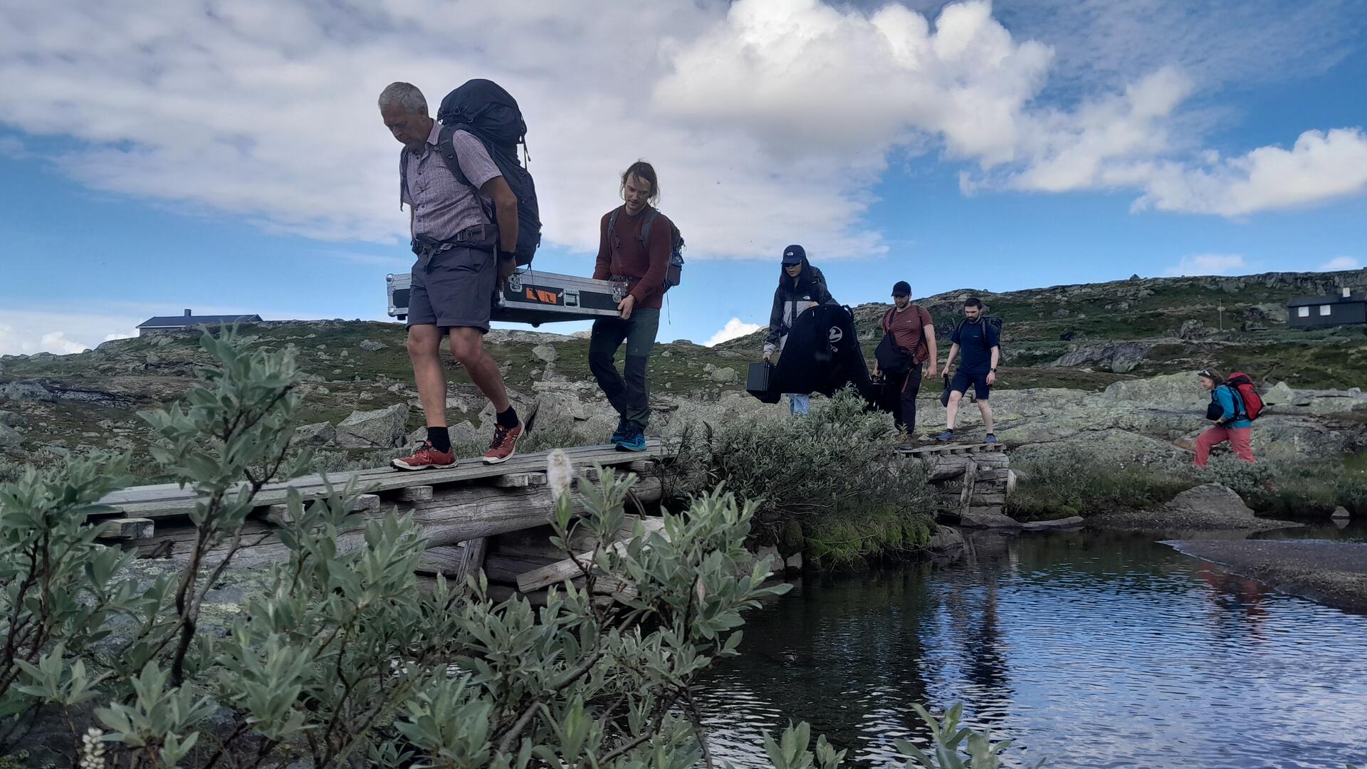
UAV and Remote Sensing Workshop
The two-day UAV and Remote Sensing Workshop combined field missions, flight planning, data collection, processing, and applied GIS/RS analysis. It brought together students, researchers, and academic staff for practical and theoretical training in UAV-based landscape analysis.
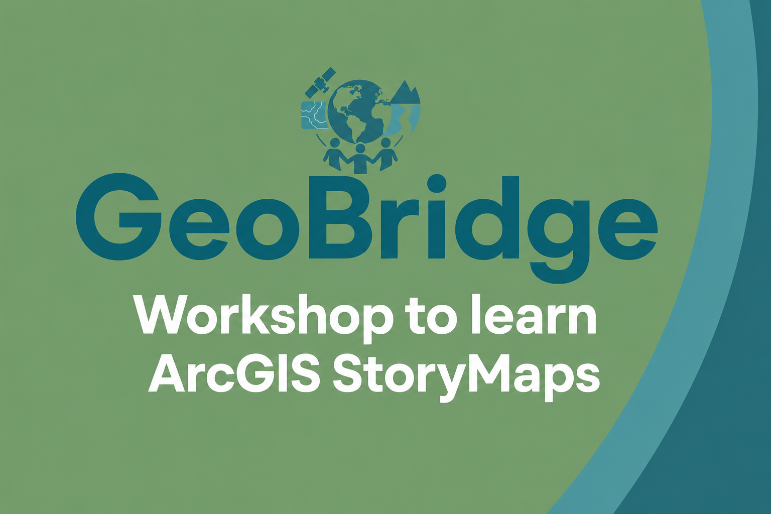
Storytelling with ArcGIS StoryMaps
GeoBridge organised a two-day hands-on workshop on ArcGIS StoryMaps, focusing on the communication of research through interactive maps and visual narratives. Participants learned how to structure a story, combine spatial analyses with text and multimedia, and develop their own research-based StoryMaps.
Research Stay in Finse
GeoBridge is organising a collaborative research stay in Finse, Norway, from 27 to 31 July 2026. The stay will bring together researchers from the Institute for Biodiversity and Ecosystem Dynamics at the University of Amsterdam and the Departments of Earth Sciences and Biological Sciences at the University of Bergen.
Participants will collaborate on projects examining landscape dynamics in a changing world, with a particular focus on biodiversity, while developing new interdisciplinary connections in a unique mountain environment.
Learn more and get involved
Visit the GeoBridge website for seminar schedules, workshop materials, collaborative projects, and opportunities to participate in the community.